


Aberdeen Green Trail
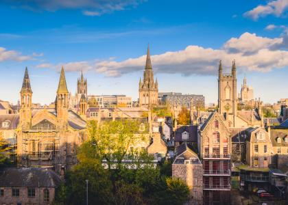
This booklet explores one of the oldest and most intriguing areas of Aberdeen. The Green has revealed evidence of prehistoric activity, was witness to the tumultuous events of the Reformation in 1560, to child kidnapping in the 18th century, whilst today it retains its own highly distinctive character.
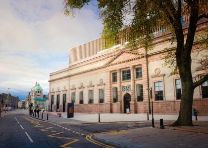
In medieval times the Green was one of the four principal quarters of the city (the others being, the Crookit, the Even and the Fittie quarters). These were the areas into which the city was divided for administrative and defence purposes. In medieval times the Green was very much a craft and trade area in the burgh. Indeed in a tax list of 1509 there were 38 female brewers working and selling ale in the Green. The Green was also something of a religious centre for Aberdeen.
The name, the Green, is slightly misleading. It refers both to the principal street in the area and to the area more widely. The street known as the Green was, in medieval times, known as the Green Gate, or Green Gait. Gate as a street name derives from a Viking or Norse word, Gata and means ‘the way to’. In this sense the street name actually means the road which led to the green area, which presumably lay outside medieval Aberdeen, on the west of the Bow Brig.
Curiously, the Green, which was so central a part of medieval Aberdeen, was not within the system of town gates, known as ports. Aberdeen was never a walled city but was defended by a series of gates and ditches. Although the Green lay outside the gates, its people were still expected to have arms and be trained to defend the city. It is said, although the evidence is equivocal, that the army of Edward III defeated the citizens of Aberdeen in a battle in the Green in 1336 and then put the city to the torch.
Enjoy exploring the Green and finding out about its past and present! Click here to view The Aberdeen Green Trail and map.